Hurricane Idalia about to make landfall as Category 4
Update on weather conditions, power outages in Marion as of 5 a.m. on Wednesday
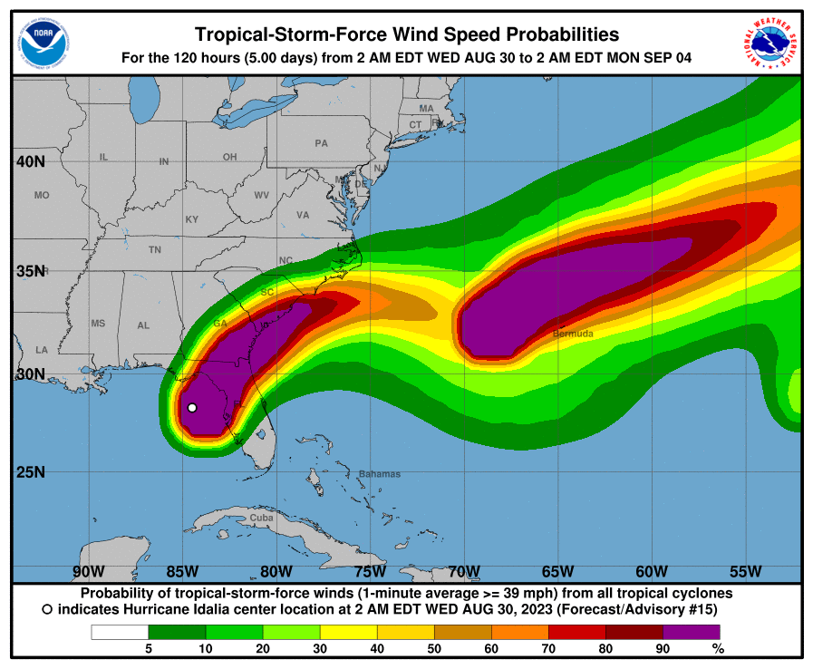
[Courtesy of the National Hurricane Center]
Hurricane Idalia has now strengthened to a Category 4 hurricane as of 5 a.m. Wednesday as it nears landfall within hours between St. Marks and Cedar Key, according to the National Hurricane Service.
“Catastrophic storm surge and destructive winds are nearing the Florida Big Bend region,” as the storm moves imminently toward Tallahassee at 18 mph.
Marion County is no longer under a tornado watch as of 6 a.m. Wednesday. The county will be under a flood watch until 11 p.m.
Western Marion County remains under a hurricane warning. Central and eastern Marion remains under a tropical storm warning, according to the National Weather Service.
As of 5:50 a.m., about 2,154 people under Ocala Electric Utility are currently affected by power outages. Duke Energy reports about 962 people, SECO Energy reports about 84 and Clay Electric Coop reports about 49 people experiencing power outages early Wednesday morning.
Western and central Marion are forecast for wind speeds of 20 to 30 mph with gusts of up to 50 mph, and eastern Marion to have similar speeds but with lower gusts of up to 45 mph, according to NWS.
Western and central Marion are forecast for 2 to 4 inches of rain. Eastern Marion is forecast for 1 to 3 inches of rain, according to NWS.
Tropical storm conditions will still be possible in the region throughout the day, subsiding in the evening for a chance of showers and slight wind.
Support community journalism
The first goal of the Ocala Gazette is to deliver trustworthy local journalism so corruption, misinformation and abuse are not hidden from the public or unchallenged.