
GIS: ‘A mix of data, science and art’
The College of Central Florida is introducing a Geographic Information Systems certificate program to help meet a growing need for people trained in the specialized technology.
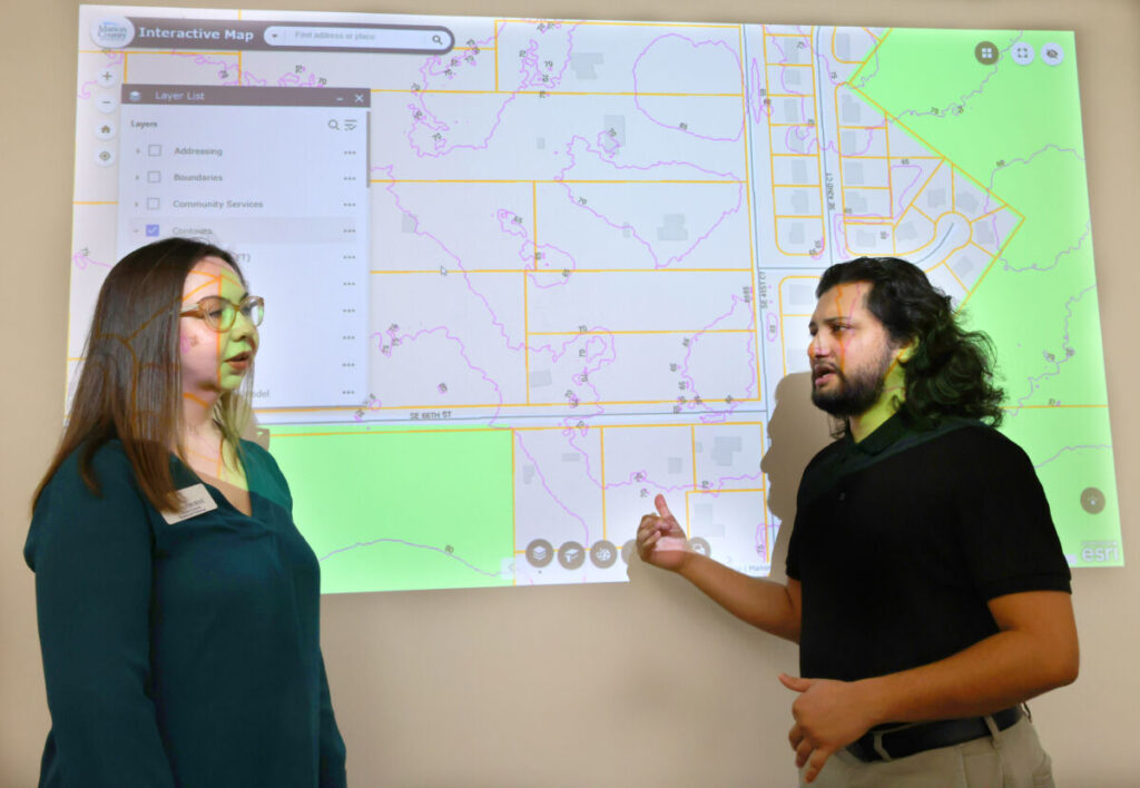
Shown with an interactive map projected on the wall behind them, Amy Osborne, the CF Computer Information Technology Program Manager for IT Programs, left, and Asir Khan, a CF student and a GIS programmer analyst, talk about Geographic Information Systems (GIS) training in a computer lab at the College of Central Florida in Ocala, Fla. on Wednesday, June 25, 2025. [Bruce Ackerman/Ocala Gazette] 2025.
Want to find out where the storm manholes are on Southwest College Road? Would you like a digital map showing how to find the Ma Barker house in Ocklawaha? How about an aerial view of Ocala and Marion County hiking and biking trails?
These are but a few of the surprises one can find on maps on city of Ocala or Marion County government websites. And they are but a few of the many uses that Geographic Information Systems technology makes available to city and county staff, businesses and the public.
To help accommodate a growing need for people trained in creating and maintaining digital maps and related information, the College of Central Florida this fall is introducing a one-year certificate program in GIS.
The program should qualify graduates to serve as GIS technicians, map assistants and data assistants. Students also can apply the classes toward related two- and four-year degrees.
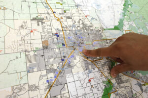
Asir Khan, a CF student and a GIS programmer analyst, points to some features on a map of Ocala as he talks about Geographic Information Systems (GIS) training in a computer lab at the College of Central Florida in Ocala, Fla. on Wednesday, June 25, 2025. [Bruce Ackerman/Ocala Gazette] 2025.
Amy Osborne, faculty member and program manager of information technology, said faculty and staff met with representatives of the city, county and business to develop the program.
Twice a year, college representatives join with people from industry and elsewhere to discuss workforce needs, technological changes and educational, governmental and other changes at the state level, she said.
Natasha Thompson, Marion County’s GIS coordinator, said using GIS is becoming increasingly critical for a number of county staff and, “It has become clear that expanded training opportunities are essential.”
The director for the GIS and mapping division of a local civil engineering firm, whose clients range from The Villages to the Florida Horse Park, said his company needs employees who are GIS-savvy. Members of his firm don’t want to be forced to look outside Florida for skilled workers.
Marty Goodwin, of the engineering firm Clymer Farner Barley, said recruiting right now for those with GIS skills is “difficult. There’s a lot of interest from people outside of the U.S. But we would prefer to hire someone local. They are more likely to stay. We’re really looking to hire people locally and grow them.”
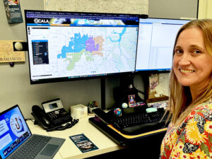
Melissa Northey oversees Geographic Information Systems technology for the city of Ocala. [Photo by Margo Wilson]
And even though Northey’s an old hand at using GIS, she has signed up for the college’s GIS certificate program starting this fall.
“I want to see what it’s like,” she said, explaining that she’ll likely learn some new things and also wants to understand what potential employees and city staff who take the courses will learn so the city can adjust on-the-job training as needed.
Northey said when she started working for the city, staff put maps in drawers. As the city started digitizing its maps, “(We) traced paper maps with tracing paper.”
(EDITOR’S NOTE: In the sentence above, according to city officials, “Melissa was referring to the use of a digitizing puck to trace features from paper maps and convert them into digital GIS data. This process did not involve tracing paper. Additionally, this experience occurred early in her GIS career while she was working with the county, not the city.”)
Goodwin said the field of civil engineering, as well as mapping, has changed dramatically over the years.
Twenty or 30 years ago, knowledge of geography was important, as well as engineering concepts.
This knowledge still is significant, but so is programming and other IT skills, according to Goodwin.
The fields of engineering, computing and geography are converging. And if a person has visual presentation skills and can create pleasing-looking digital maps and other representations, that’s a bonus, as Goodwin sees it.
“It’s a mix of data, science and art,” he said.
And that means firms like his often train people on the job because few employees come to the job with skills in every area.
One of the people getting on-the-job training is Asir Khan, a GIS programmer analyst with Marion County’s IT Department.
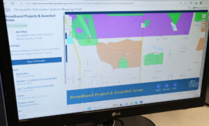
Broadband projects and awarded areas are shown in a Geographic Information Systems (GIS) mapping portal in a computer lab at the College of Central Florida in Ocala, Fla. on Wednesday, June 25, 2025. [Bruce Ackerman/Ocala Gazette] 2025.
Although he’s learned about GIS on the job, he previously hadn’t worked with mapping technology. He said he’s enjoyed discovering “how programming and mapping combine to better serve our community. This shows that GIS careers are accessible to people from various backgrounds; you don’t need to start as a geography expert.”
Khan said he enrolled in the college’s GIS certificate program because “formal education will deepen my understanding of geographic analysis and mapping principles.”
Osborne explained that some of the power of GIS is in using it to filter data. Relying on some of the same principles as that used in spreadsheet management, GIS maps can filter data so users can visualize things they wouldn’t necessarily realize otherwise.
Khan further illustrated the concept.
“For instance, if someone needs to identify all commercial properties outside flood zones near major roads, our GIS can filter thousands of properties instantly. I develop tools that help departments answer complex questions efficiently, saving time and taxpayer resources,” he said.
The county’s Thompson said she sees an ongoing need for people with GIS skills as GIS “continue(s) to play an increasingly important role in Marion County’s operations.”
As she puts it, “the where” aspect in making decisions “is especially vital in a geographically large county like ours.”
One of many ways the city uses GIS is to plot on maps where potholes are. Another is to show how far on a map a fire and rescue team can travel in a certain time, say four minutes.
On the county’s website, the public can use GIS-powered interactive maps to see such things as transportation projects, traffic counts and safety data. Many county departments also use GIS in decision making.
To see some ways the city uses GIS, go to ocalafl.gov and click on the blue box in the upper right of the screen, “I want to.” From there, click on “I want to learn,” and then “city maps” and “learn more.”
For the county, visit marionfl.org and go to the “I want to” link in the upper right of the screen, and then click on “Maps” under “View.”
The college’s Osborne said state education officials have identified GIS skills as an area for high growth. She said she feels that GIS jobs should be fairly safe and not taken over by AI.
Furthermore, “the skillset complements many careers,” Osborne said. “And you’re never too late.”
She said her oldest student was 90. He studied computer applications and spreadsheets and did well. Similarly, the college has dual-enrolled students who are both high school and college students. Osborne said her youngest student was about 15.
For those considering pursuing the GIS certificate program, or a career in information technology, “You have to love technology,” Osborne said. “You have to be interested in puzzles.”
One of those who loves technology and GIS is Goodwin.
“I love the tech side,” he said. “And I love this field so much. …. I like the spreadsheets and maps. … I get to deliver something that users value.”
The county’s Thompson has found that by sharing “geospatial data and ideas” among departments and other agencies, she and others have helped “build relationships and uncover new ways to benefit the community and public.”
Khan told how one rewarding project in which he was involved was creating a mapping application for the county engineer’s office that streamlines the staff’s daily work and the way they serve residents. Another project for the county administrator makes it easy to track development patterns and make decisions about growth.
For the city’s Northey, “I like the fact that I know I make a difference. I like the visual. And I like that every day is different.”
For information about the college’s GIS certificate program, go to cf.edu/it or email Amy Osborne at [email protected].

Support community journalism
The first goal of the Ocala Gazette is to deliver trustworthy local journalism so corruption, misinformation and abuse are not hidden from the public or unchallenged.